
Maps
Maggie ShaplandThis page uses maps to show where we are, the huge area we cover, the conservation areas we encompass, and the neighbourhood partnership .
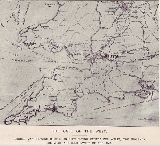
Location of Bristol served well by sea, road and rail links |
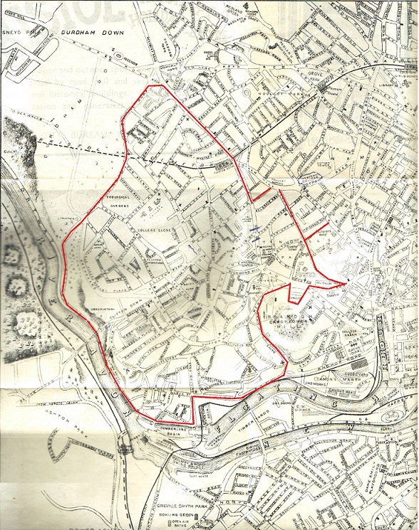
The BS8 postcode area which reaches from the Avon Gorge to the west, the Downs to the north, the University to the east and Hotwells to the south |
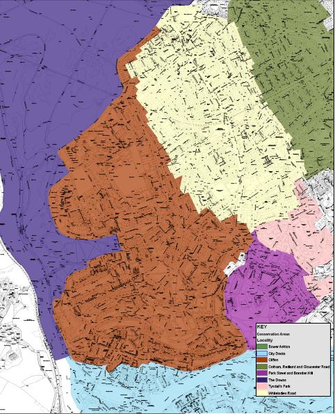
The Clifton and Hotwells conservation area is surrounded by conservation areas of the Downs to the west, Whiteladies Road to the north east and Park Street and Brandon Hill to the south east. The unique character of Clifton and Hotwells is directly influenced by its topography and geology. The quality of built fabric and townscape is extremely high with more than 1200 listed buildings (31% of the total in Bristol, 33% of the streets contain listed buildings). |
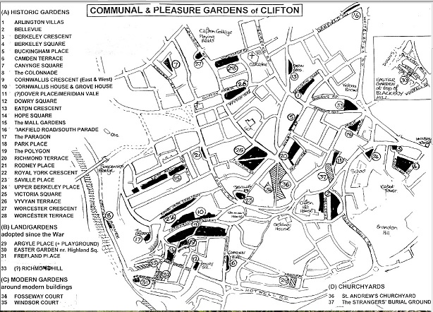
The 37 communal and pleasure gardens of Clifton |
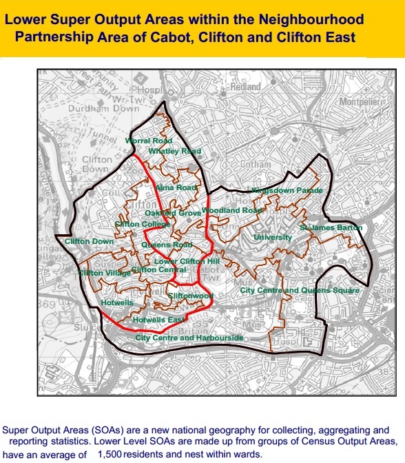
The Clifton and Cabot Neighbourhood Partnership combines Clifton, Clifton East and Cabot electoral wards so extends to the Bus Station in the East, and Cumberland Road in the South. Neighbourhood Partnerships consider local concerns. They bring together local councillors, neighbourhood police teams, community groups and local residents to shape services such as street cleaning, park maintenance, local recycling schemes, minor traffic schemes, highway maintenance, community safety and more. |
Useful websites:
- Know your place
Explore historic maps of Bristol (1840s tithe maps, 19th, 20th century ordnance survey maps, Ashmead's plans of the central area
from 1828, 1855, 1874. Link to the city archive.
Find the postcode, conservation area, listed buildings.
Share your own information and images about Bristol.